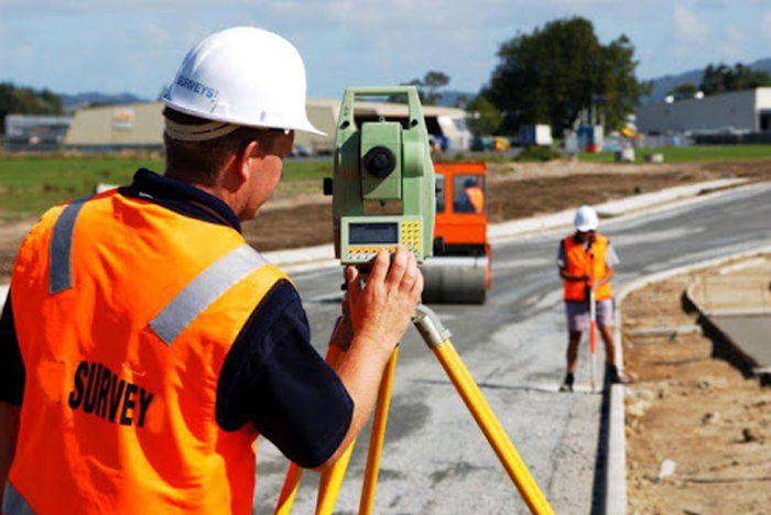
The curriculum covers a wide range of topics related to land surveying, geospatial technologies, and land management. Courses may include:

Hands-on training and fieldwork are integral components of the program to provide students with practical experience in using surveying instruments, conducting surveys, and analyzing geospatial data.
Students are often trained in the use of surveying software and geospatial technologies such as AutoCAD, GIS software (e.g., ArcGIS, QGIS), and GPS/GNSS systems.
Upon completion of the program, students may be eligible to obtain certifications such as:
Graduates can work as land surveyors, conducting surveys to determine property boundaries, prepare topographic maps, and provide data for construction projects, land development, and infrastructure planning.
Graduates can pursue careers as construction surveyors, working on construction sites to stake out reference points and markers, monitor construction progress, and ensure accurate placement of structures.
Graduates can work as geomatics engineers, utilizing geospatial technologies and surveying techniques to collect, analyze, and interpret spatial data for various applications such as urban planning, environmental monitoring, and natural resource management.
Graduates can work as GIS specialists or analysts, using geographic information systems (GIS) software to create, manage, and analyze spatial data for mapping, spatial analysis, and decision-making purposes in industries such as government, utilities, and environmental management.
Graduates can work as remote sensing technicians, processing and analyzing satellite or aerial imagery to extract information about land cover, land use, and environmental changes for applications in agriculture, forestry, and urban planning.
Graduates can work as land development planners, collaborating with architects, engineers, and developers to assess the feasibility of land development projects, prepare site plans, and ensure compliance with zoning regulations and land use policies.
Graduates can work as surveying technicians, providing support to licensed surveyors by assisting with field surveys, data collection, and instrument operation.